Challenge
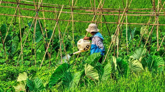
Brazil is home to the world’s largest, most biodiverse tract of tropical rainforest, the Amazon Forest. But its land and resources are constantly in demand and therefore at risk. Almost 75% of emissions come from agriculture and land use changes, and while Brazil has done much to slow deforestation in the Amazon, it’s still among the highest rates in the world.
Solution and partner
With the goal of helping decision makers in government, business and civil society prioritize actions for its climate change agenda based on data, MapBiomas was created in 2015 as a collaborative network of more than 30 local organizations to map the use of land across the entire country for all years back to 1985. Using Google Earth Engine’s catalog of satellite imagery and automatic classification through machine learning and deep learning, every year MapBiomas releases an updated collection of annual land cover and land use data.
Impact
In 2024, MapBiomas achieved its goal of mapping the land of Brazil all the way back to 1985, and it has developed methodologies to classify land use into more than 29 categories, including natural vegetation, agriculture, pasture, urban areas, and others. MapBiomas has expanded to 13 other countries, with the aim of producing valuable information for policy making, environmental monitoring and conservation, and sustainable business practices.
We’ve created a community that is able to do amazing things with geoprocessing using Google Earth Engine. We hope to help reduce deforestation, increase restoration, and promote low carbon agriculture practices, hopefully enough to meet Brazil’s emissions reductions pledges made as part of the Paris Accords and the Glasgow commitment on forests.