When you’re analyzing satellite data to find methane leaks, there’s lots and lots of noise, making it difficult to detect anything other than really large leaks. This is a critical problem because methane is 80 times more potent than CO2 over short time frames. In other words, reducing methane offers the most immediate opportunity to slow the rate of warming. Beyond the environmental implications, methane leaks are also a safety concern because methane is flammable.
A similar challenge exists with radar data used to detect tiny shifts in the ground; turning that data into useful information is a long and complicated process, which is a problem if you’re trying to catch early signs of anything that could threaten a building’s integrity.
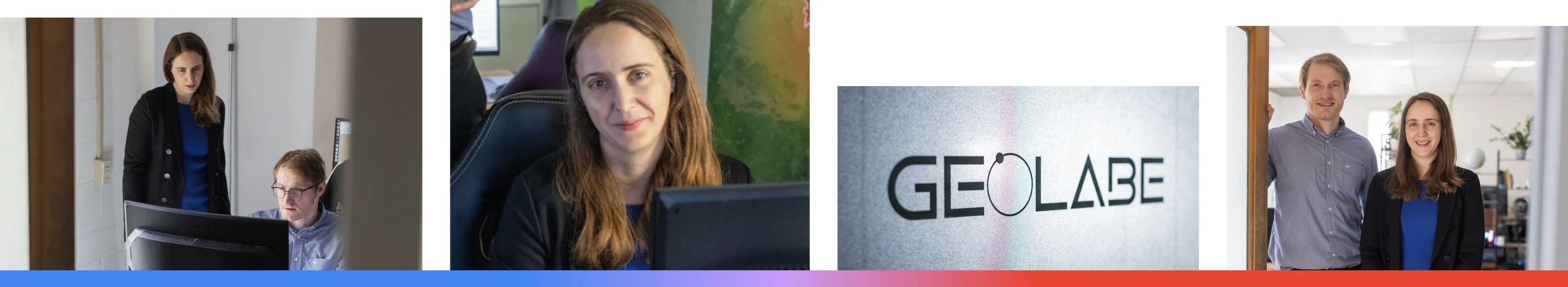
These are the challenges we set out to solve with GeoLabe. As scientists with backgrounds in machine learning for geophysical data at the Los Alamos National Lab, we had some research that we felt might be useful to some people, so a few years ago, we decided to spin out of the lab to create our own company.
We build completely new AI architectures tailored for these types of data. Our first application is methane detection. For this, we solve a key trade-off: The satellite data with the best coverage has very poor chemical information compared to other satellites. Our custom models, which are trained using Google Cloud’s AI infrastructure, including Vertex AI, can tease out the chemistry we need from those images, even though the data is really imperfect. This allows us to find leaks over vast areas. We work mostly with energy companies who know they’re going to have leaks in the future, which are really hard to find. We look at the data, find the leaks as fast as we can, and help people fix them.
Our second big application—tracking ground movement—improves a technique that compares two radar images taken at different times. This allows us to create a map of millimeter-scale movements for everything from infrastructure monitoring to tracking natural hazards like earthquakes.
For methane, our AI models are trained to find the faint signal of a plume amidst all the background noise. From what we see, we can lower detection capabilities by an order of magnitude compared to previous techniques. For radar, our techniques make the process faster and easier.
Our entire operation runs on Google Cloud, using a serverless approach. This means we don't have to worry about managing physical servers; we can just call on powerful computing resources exactly when we need them. For instance, every week we need to analyze massive amounts of data—several terabytes—every Sunday to prepare reports for our client on Monday.
Google Cloud gives us the flexibility to scale up for that intense, once-a-week job rather than using up power all week long.
AI is accelerating everything we do, from the product we’re continuously building to our internal workflow.
I use NotebookLM to summarize new research so I can make sure we haven’t missed any information. It’s a convenient tool that helps me stay up to date. This is critical because our work is constantly evolving.
The vision is to continue building versatile and agile models that we can switch from one application to the other, gradually adding new capabilities. With AI, we can find those subtle signals among the noise, see changes that were previously invisible, and transform long complicated processes into real solutions for our planet. We’re just getting started.